Submit your comments on draft EA for the Questa to Red River Trail (Q2RRT) by Friday.
https://www.fs.usda.gov/r03/carson/projects/67508
Click “Get Connected” then “Comment/Object on Project” or use this direct link.
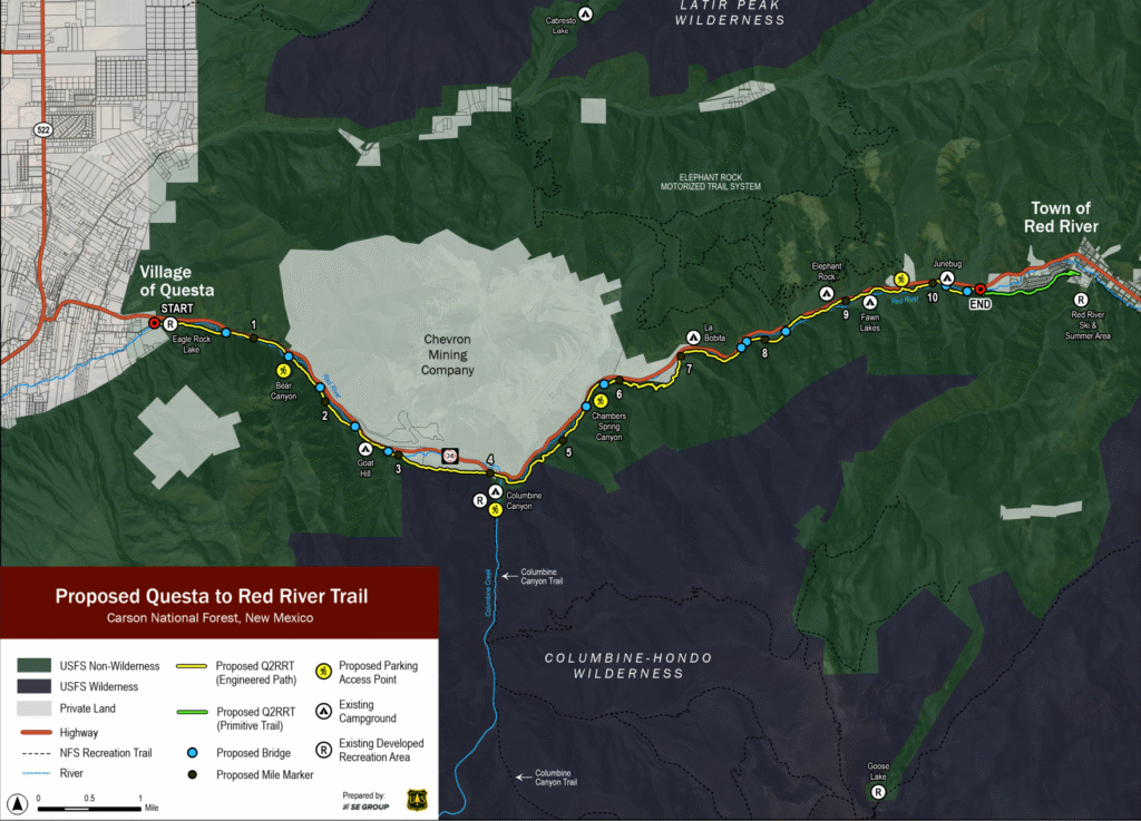
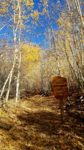
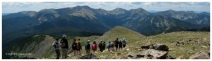
The Q2RRT will connect two Enchanted Circle communities via a non-motorized, multi-use path that thread together multiple recreations sites along the red river canyon.
Your comments are important!
Below are a few of the positive impacts the Q2RRT will have. Feel free to highlight these in your own words.
And, of course, if there are any concerns or questions you have, be sure to include those as well! We want to make sure this trail meets the needs and wishes of our community.
Improved Community Health through Multiple-Use Recreation
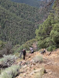
The trail will support a variety of recreational uses that encourage active lifestyles, broaden access to nature, and provide opportunities for physical, mental, and social well-being across the community.
Enhanced Safety by Providing an Off-Highway Connection
By offering a dedicated, off-road route between Questa and Red River, the project will reduce the hazards currently faced by walkers and cyclists traveling along State Road 38 and provide a safer option for both commuters and recreational users.
Increased Economic Vitality for Traditionally Underserved Communities:
As a shared public space and community asset, the trail will contribute to social cohesion and local economic resilience. It is expected to support small businesses such as cafés and lodging, especially during the shoulder seasons when tourism is typically slower—benefits that will be particularly meaningful for the Village of Questa.
Connecting Independent Trail Systems and Recreation Opportunities:
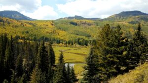
The new route will link the communities of Questa and Red River while also tying into existing recreation resources, including the Rio Grande del Norte National Monument and the Red River canyon trail network. In doing so, it will unify currently separate trail systems into a more cohesive regional network
Expanded Inclusive Access to Outdoor Recreation:
By incorporating Forest Service accessibility standards to the extent feasible, the project will broaden outdoor recreation opportunities to serve a wider range of users, including individuals with mobility challenges or adaptive equipment needs.
Supports Year-Round Recreation
The trail’s design and varied elevation will allow for recreational activities throughout the entire year, including potential snow-based activities in winter, providing consistent opportunities for outdoor enjoyment.
Disperses Recreational Use Across Public Lands
By adding a new, unique trail to the existing network and providing new access points, the project is expected to spread out recreationists more broadly across Carson National Forest lands, which could reduce pressure on currently overused sites.
Offers Interpretive and Educational Opportunities
The trail could incorporate educational and interpretive elements, such as wildlife viewing areas and informational displays, allowing both locals and visitors to learn about the natural resources and cultural history of the area. It will also connect people to existing attractions.
Creates Dedicated, Organized Parking and Access
The project includes the development of new, designated parking areas at key points along the trail. These will improve safety and organization compared to the current reliance on informal roadside spots, making it easier and safer for people to access the trail and nearby recreation opportunities like climbing.
Promotes Local Small Business Development
For rural landowners and businesses along the corridor, the trail’s presence could open up opportunities for small business development, such as lodging, guide services, or retail catering to trail users, further supporting the local economy.