What is National Take A Hike Day?
National Take A Hike Day, also known as “National Hiking Day”, is celebrated every year on November 17th with the goal of encouraging folks of all fitness levels to get outside, reconnect with nature, and enjoy the mental and physical health benefits of hiking.
Whether it’s a ten-minute stroll on your lunch break or an all-day adventure, we encourage everyone to get outside in whatever way is accessible to them.
Below are our suggestions for some easy, close-to-home hikes that anyone can enjoy!
Fred Baca Park Loop
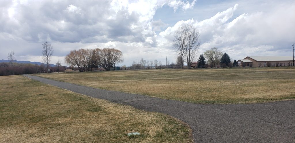
Distance: 0.25 miles (x4 = 1 mile)
Accessibility: Fully Accessible: paved and ADA accessible but watch for cracks in the pavement
Description: The loop can be accessed from the eastern side of the basketball courts and circumvents a grassy field. Enjoy stunning views of the Sangre de Cristos from the entire loop and listen to the iconic call of the chickadee as they make their way to the lower elevations to winter.
Fred Baca Park Nature Trail
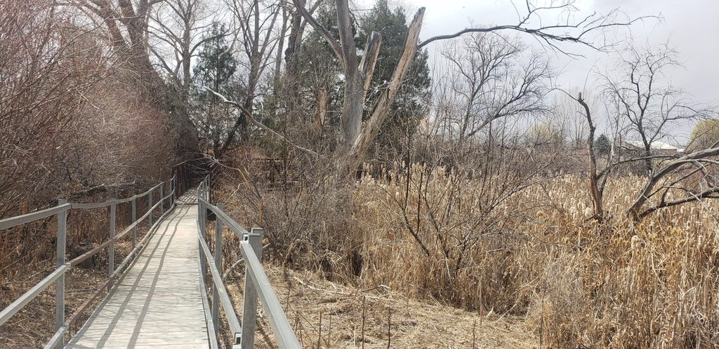
Distance: 0.2 miles one-way
Accessibility: Mostly Accessible: Can be accessed by a wheelchair, but planks in the boardwalk may be uneven and trail is uneven, packed dirt in places
Description: If you’re looking for a quiet escape and to really immerse yourself in nature, the Fred Baca Nature Trail is for you. The trail is a raised boardwalk that starts by following along the Rio Fernando River. If you’re lucky and time it right, you may catch a glimpse of the family of beaver that call the Rio Fernando home.6 The trail soon turns to packed dirt and for a short distance follows along a latilla fence that serves as a blind for bird enthusiasts. The trail then meanders along the edge of the cattail filled wetlands and ends at a viewing platform with 360-degree views of the wetlands and Sangre de Cristo mountains in the distance.
Rio Fernando Park Loop
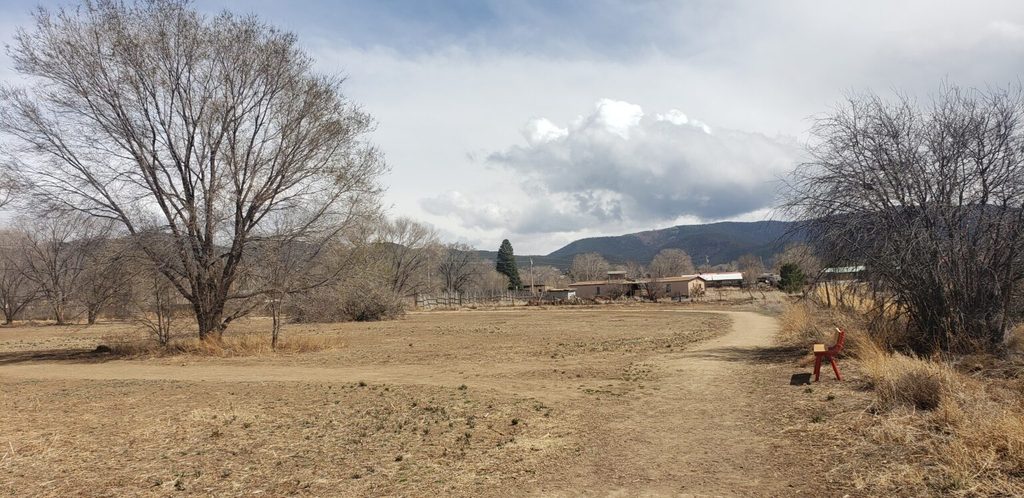
Distance: 0.25 miles (x4 = 1 mile)
Accessibility: Mostly Accessible: can be accessed by a wheelchair, but trail is uneven and packed dirt
Description: The Rio Fernando Park Loop takes hikers on a tour of one of the most impactful conservation and revitalization efforts happening in Taos. Along the loop, hikers can view a diverse landscape being successfully managed for conservation and agriculture. There are also other loop options and connector trails amongst the 20-acre property.
El Nogal Nature Loop
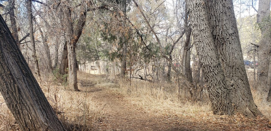
Distance: 1 mile loop
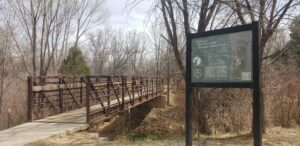
Accessibility: The short section of trail between the bridges is a wide, packed dirt path that is accessible for wheelchairs. The rest of the loop is not due to steep, narrow, and uneven terrain.
Description: The El Nogal Nature Loop is a short, easy loop that can be enjoyed by the whole family. The trail takes hikers through two very distinct ecosystems, highlighting how the presence of water can drastically change a landscape and provide the necessary resources for a wider diversity of flora and fauna to thrive.
The arid northern half of the loop is characterized by piñon-juniper forest dotted with the occasional prickly pear cactus or buckhorn cholla, while the southern half of the loop is a wetland characterized by water-loving cottonwoods, willows, and other deciduous tree species.
Trader’s Trail
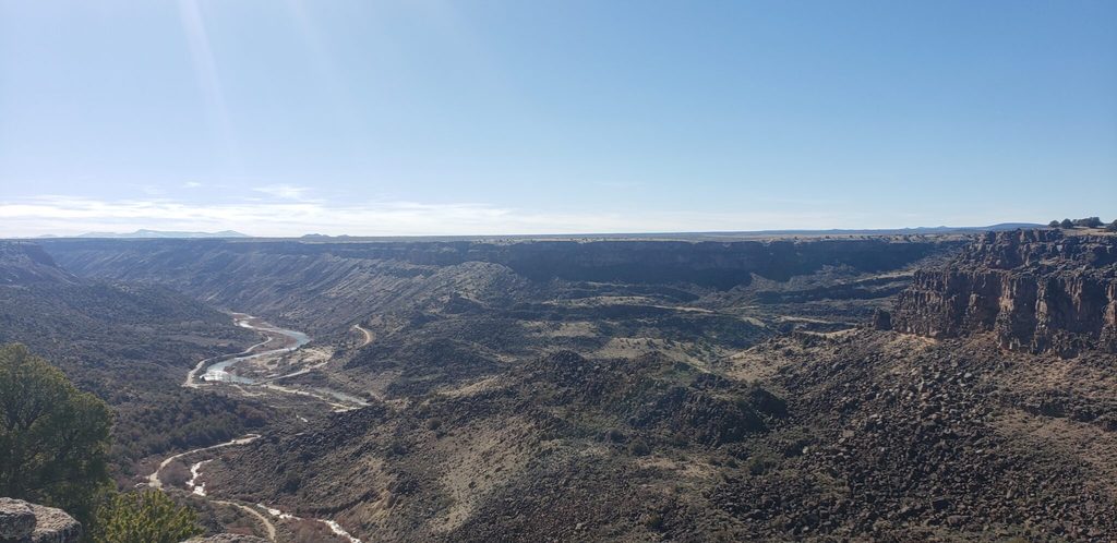
Distance: 1.7 miles (one way)
Accessibility: May not be accessible by wheelchair, trail is packed dirt with uneven terrain and occasional loose rock.
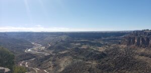
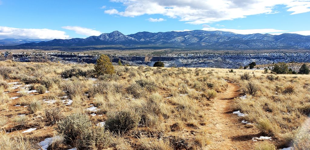
Description: If you’re looking for easy access to gaze into the depths of the Rio Grande Gorge, then the Traders Trail is the one for you. The Traders Trail is a short, out-and-back with very little elevation gain or loss. It’s a wide two-track with ample room, long sightlines, and no technical features, making it the perfect trail for folks of any ability level.
Slide Trail
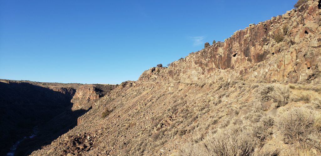
Distance: 1.3 miles (one way)
Accessibility: Not accessible by wheelchair, large rocks protruding from trail, narrowed sections of trail due to rockfall
Description: The Slide Trail starts on top of the Rift Valley and quickly descends 500′ into the Rio Grande gorge along the Rio Pueblo de Taos, a tributary of the Rio Grande River. The trail follows an old roadbed that’s wide, flat, and free of technical features. About halfway down, the trail gets a little tricky where it travels through an old rockslide. The trail becomes uneven and narrow; if you’re biking, you’ll need to dismount and maneuver your bike over some fallen rocks.
Additional Resources:
Check out some of our other blog posts for more detailed information on these trails: